Survey-Grade Drone Mapping for Land Surveyors
SmartDrone helps survey firms capture LiDAR and imagery, process CAD-ready deliverables, and reduce rework without building a full drone department.
Survey Firms Are Being Asked to Do More With Less
Growing demand, an aging workforce, hiring challenges, and increasing project complexity are making it harder for survey firms to keep up. The pressure isn’t finding work. It’s having the people, capacity, and technology to deliver it consistently.
Finding Reliable Field Crews Is Hard
Skilled laborers are becoming more difficult to recruit and retain.
Clients Expect Faster Turnarounds
Project schedules keep shrinking while expectations continue to rise.
Traditional Workflows Don’t Scale
Adding crews isn’t always practical or profitable.
Every Delay Impacts Your Reputation
Missed deadlines can cost more than time. They can cost future work.
Faster Surveys.
More Capacity.
Better Margins.
From data capture to final deliverables, SmartDrone provides everything professional surveyors need to produce accurate aerial survey data efficiently and profitably.
Capture hundreds of acres in a fraction of the time
Reduce field time and manual workflows
Expand project capacity without adding personnel
Receive ongoing support from surveying and UAV experts
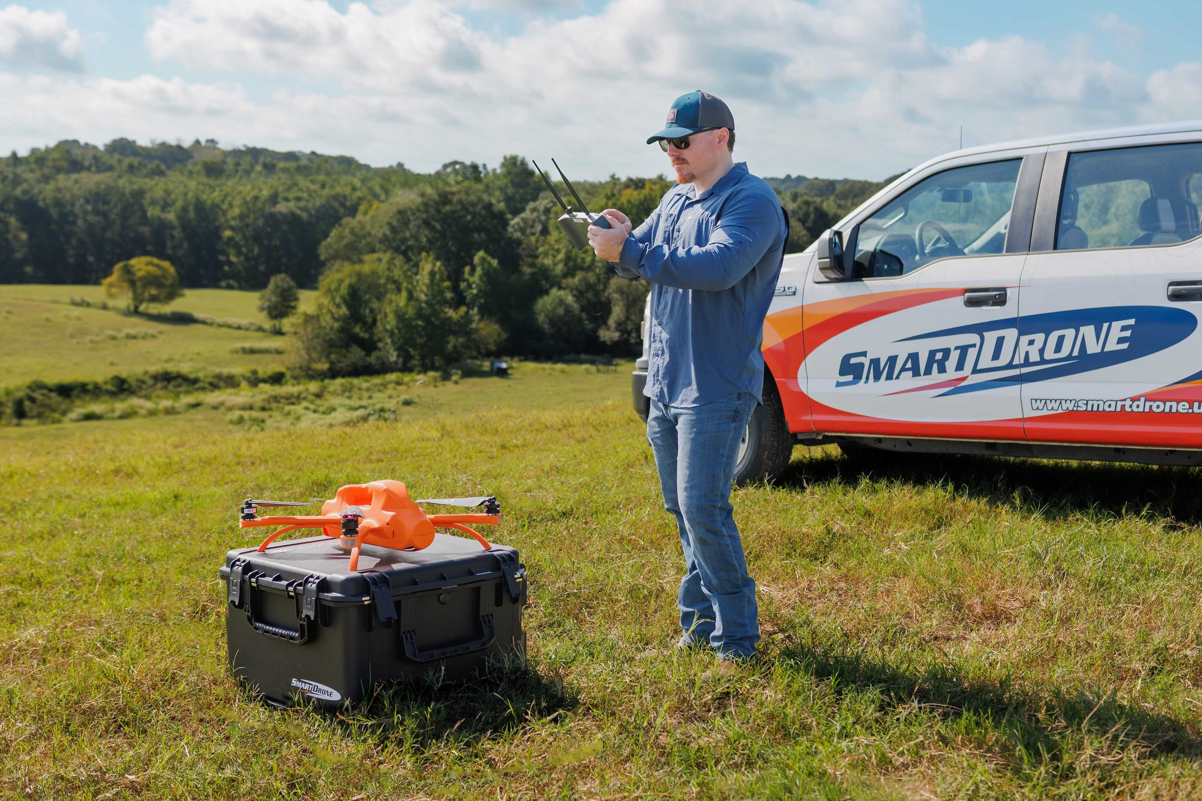
"We believe the surveying industry deserves a leap forward, where modern technology transforms stagnant processes into faster, more accurate, and more efficient outcomes."
Designed to Help Survey Teams Do More
SmartDrone combines hardware, software, processing, training, and support into a single platform designed to help survey firms increase capacity, reduce operational complexity, and deliver projects with confidence.
Complete More Projects
Increase project capacity with the team you already have.
Reduce Rework
Catch issues before crews leave the site and avoid costly return trips.
Simplify Your Workflow
Hardware, software, processing, and support work together in one platform.
Stay Focused on Surveying
Spend less time managing technology and more time delivering projects.
The Complete Drone Surveying Platform Built for Professional Surveyors
Hardware, software, processing, quality control, training, and support. Everything you need from a single trusted partner.

Survey Drone Platform
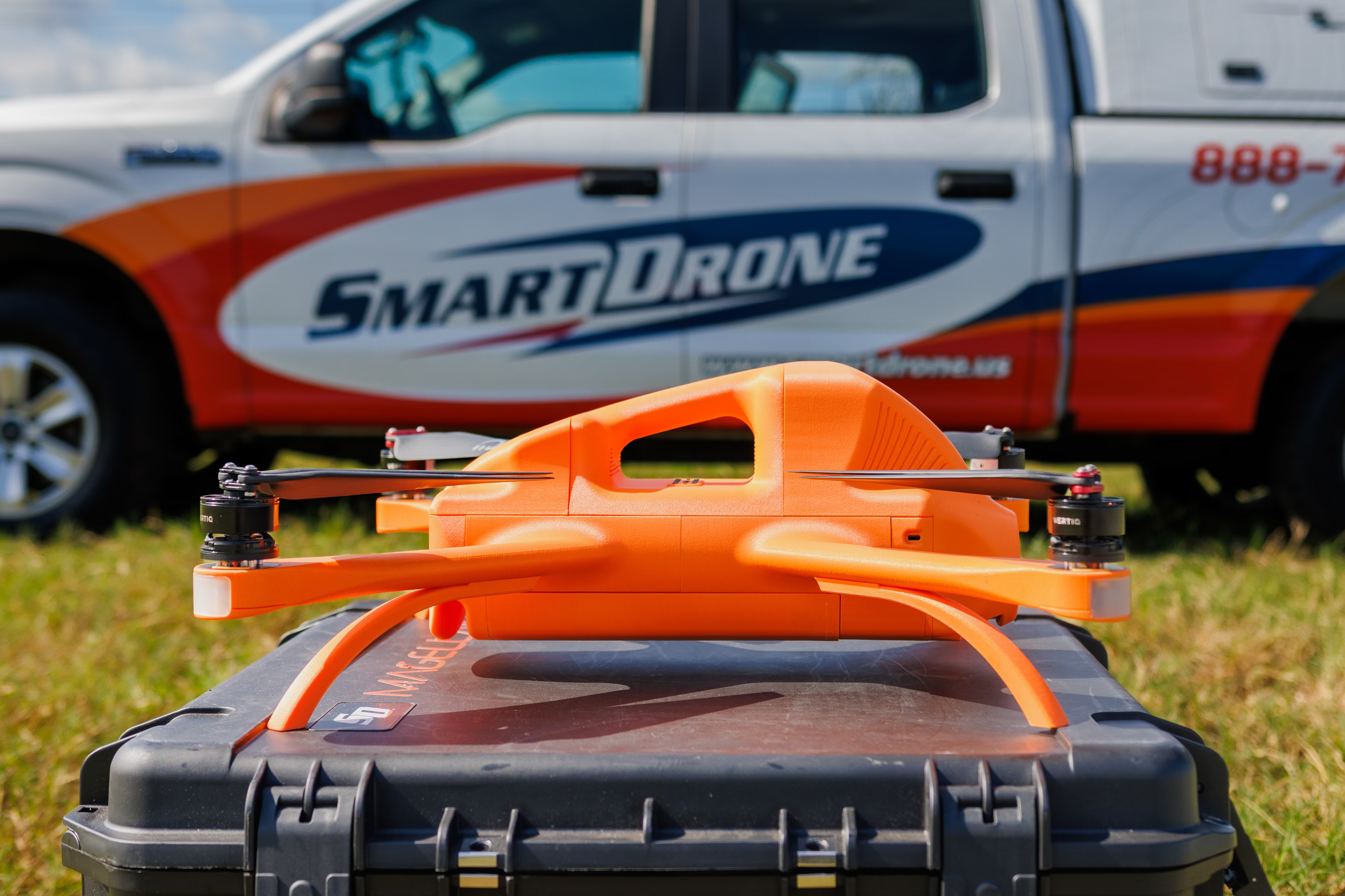
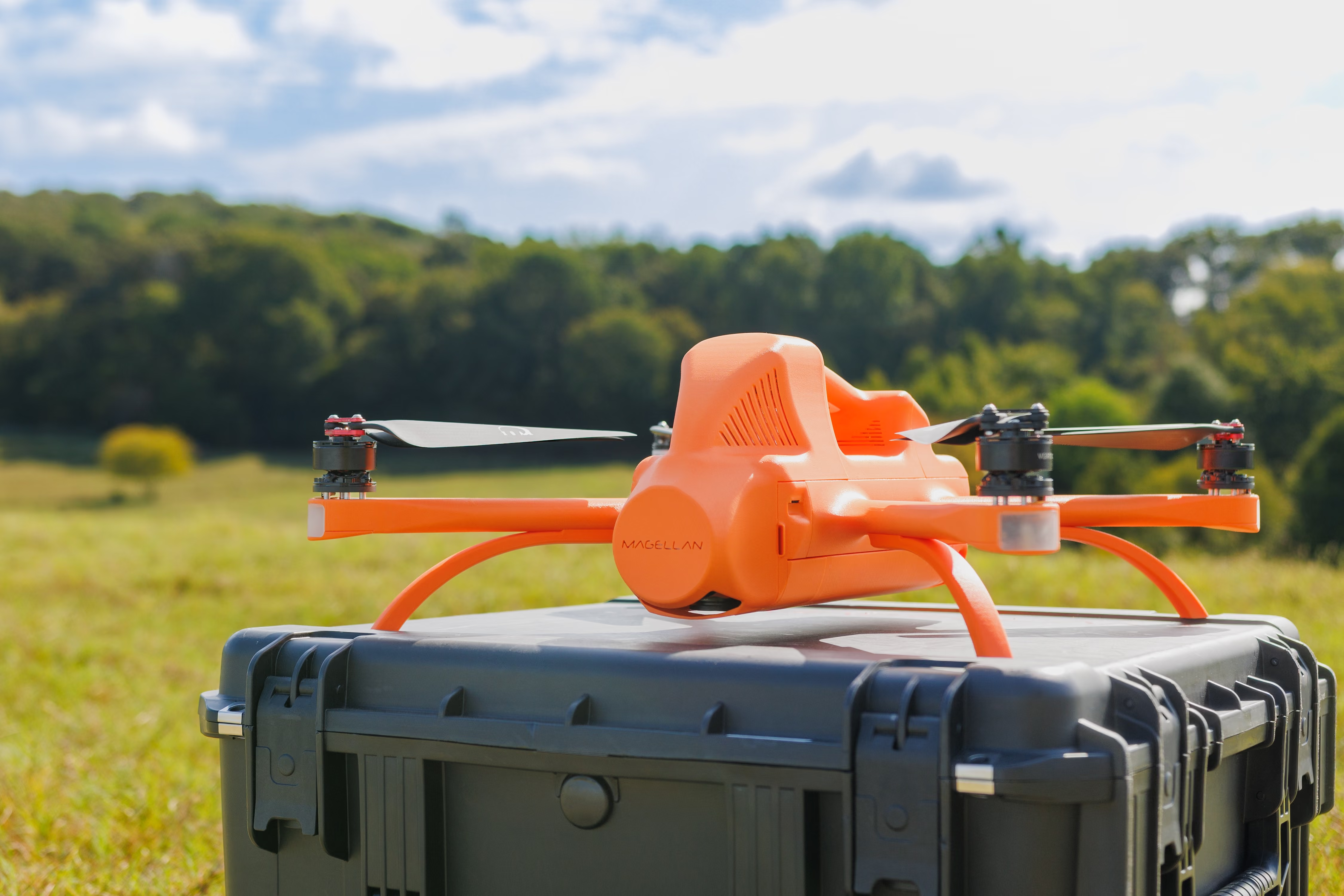
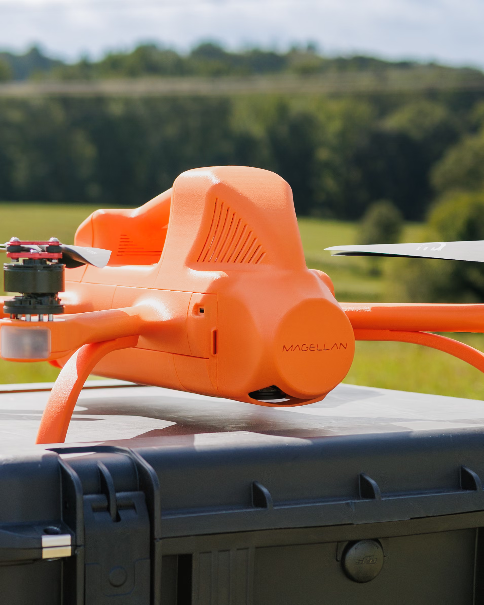
Survey-grade LiDAR and photogrammetry drone built for land surveyors.
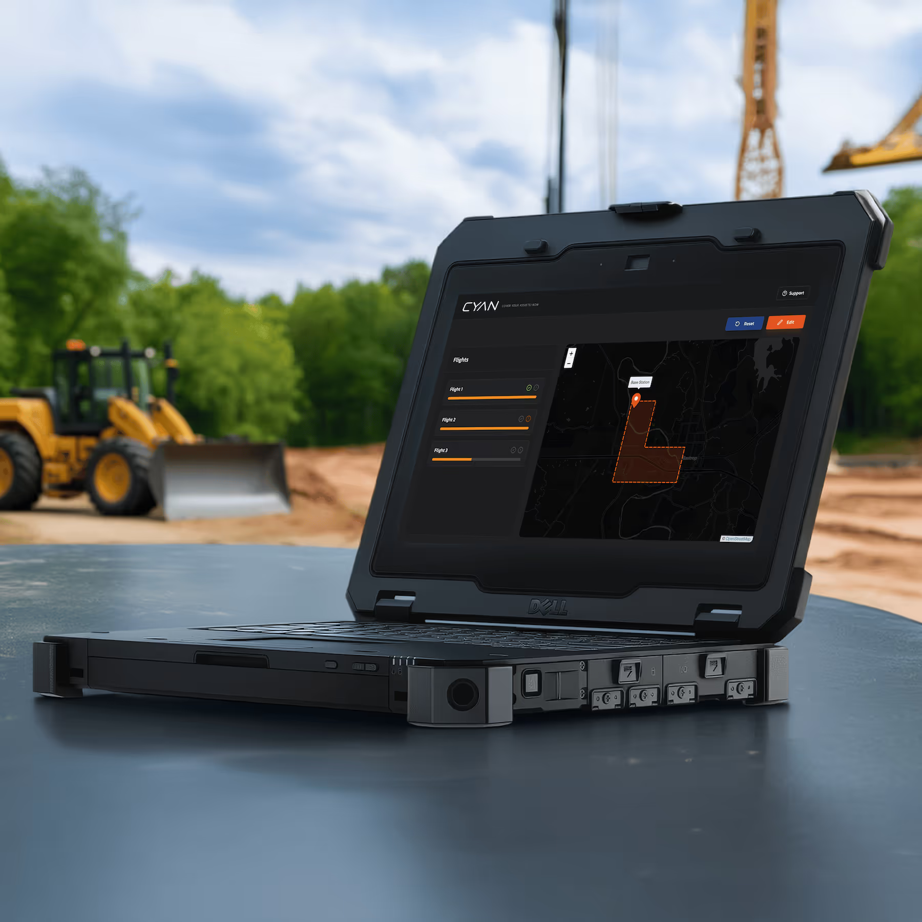

In-Field Validation
In-field QA tool to catch issues before crews leave the site.
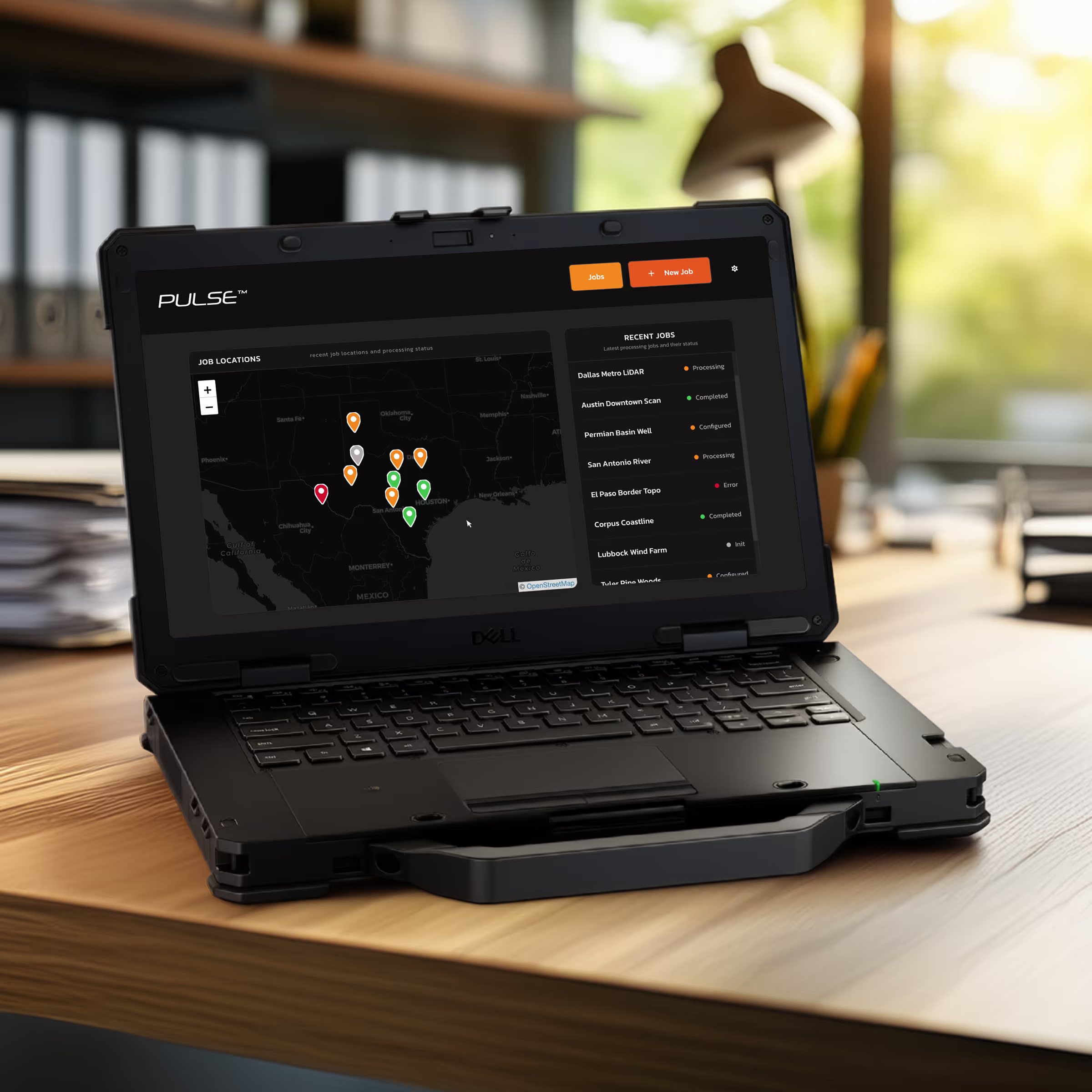

Data Processor
Process data and manage projects internally.
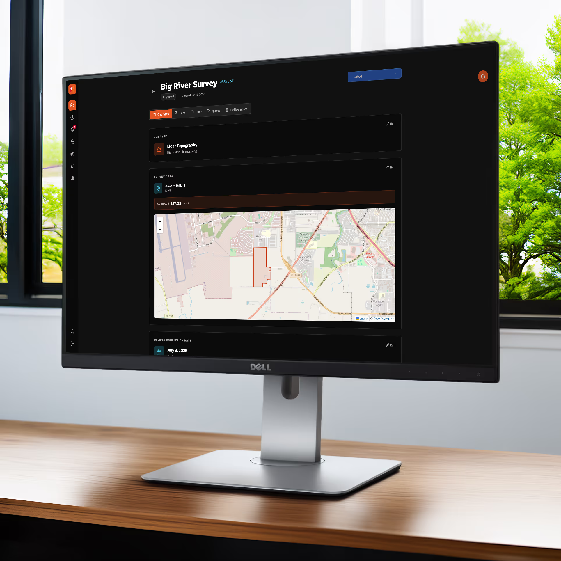

Data Services
Leave the data processing to the experts.
Available to Magellan™ Members
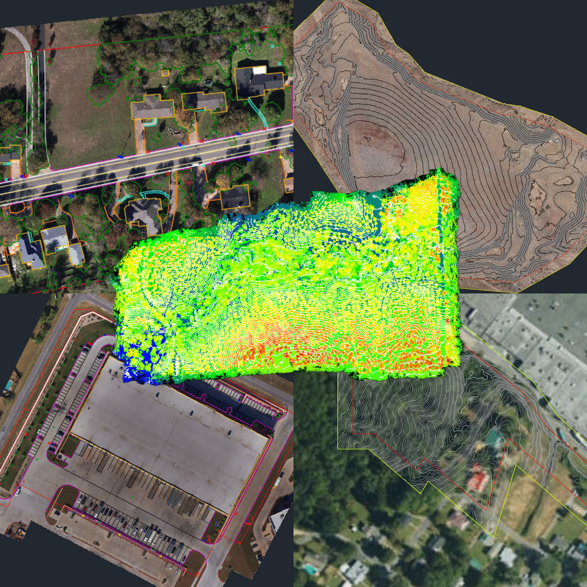
Survey-Grade Deliverables
Topographic maps, surface models, contours, and CAD-ready files your clients need to keep projects moving.
Choose Your Path
Whether you want to own and manage the platform internally or take advantage of additional support and processing services, there’s a path designed to fit your business.
Membership
Includes:
- Magellan™ Drone
- PulseCloud Access
- CYAN In-Field Validation Tool
- Expert Processing Services*
- Preferential Paid Project Referrals
- Next-Day Replacements
- Online Training
- Hardware Upgrade Opportunities
- Priority Support
Ownership
Includes:
- Magellan™ Drone
- Pulse Data Processor
- CYAN In-Field Validation Tool
- Online Training
- Support Options
- SmartDrone Processing Credits
Trusted by Survey Professionals
"SmartDrone is our trusted go-to for all drone surveying needs! ...They’ve come through for us on several tight-deadline projects, and each time they’ve exceeded our expectations. Reliable, responsive, and efficient—highly recommend!"


"The SmartDrone team is professional, responsive, and always willing to go the extra mile to ensure we get exactly what we need. Partnering with them has truly elevated the services we offer to our clients. We highly recommend SmartDrone..."


Ready to Increase Capacity Without Increasing Complexity?
See how the SmartDrone platform can help your team capture, process, and deliver survey data more efficiently.